Descrizione
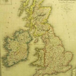
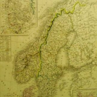
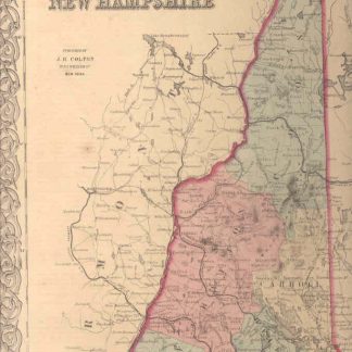
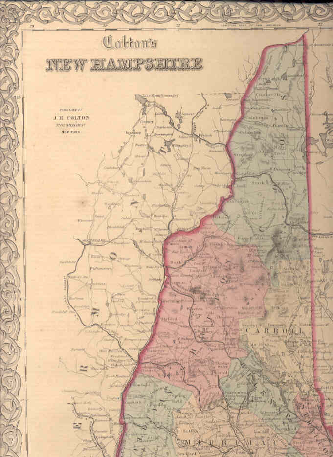
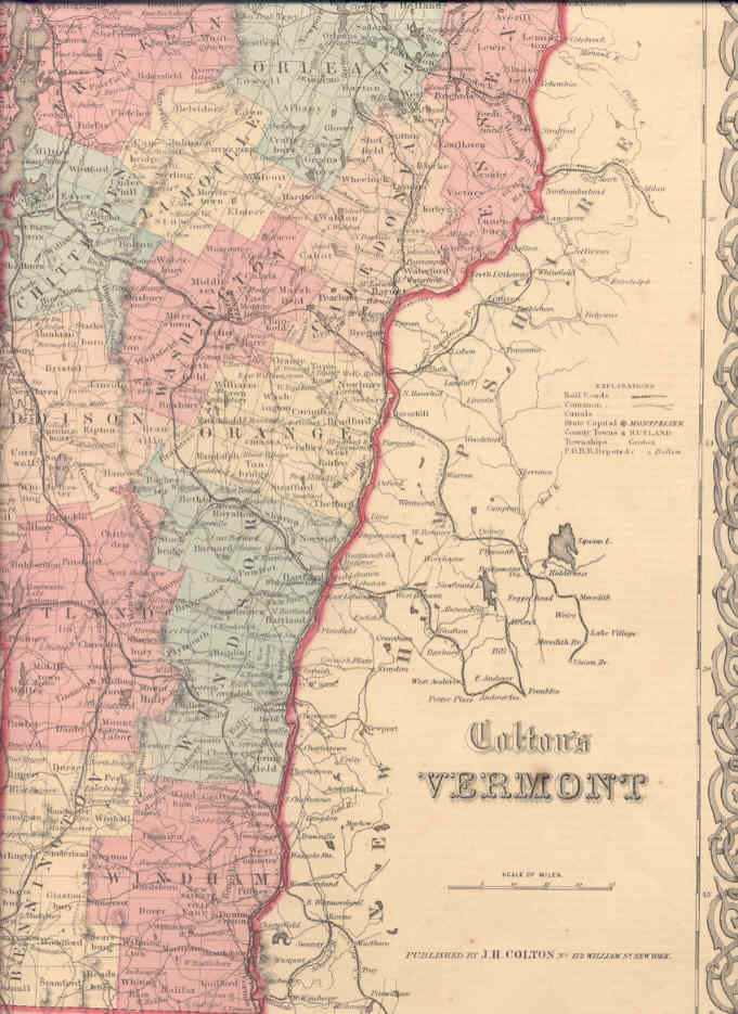
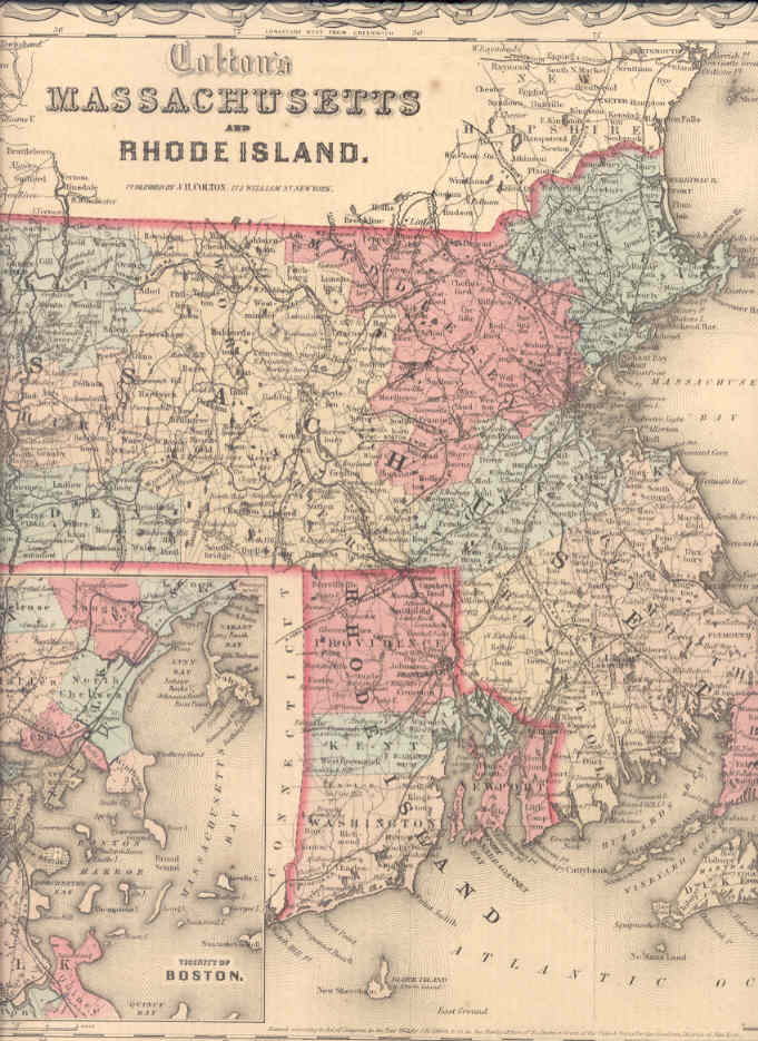
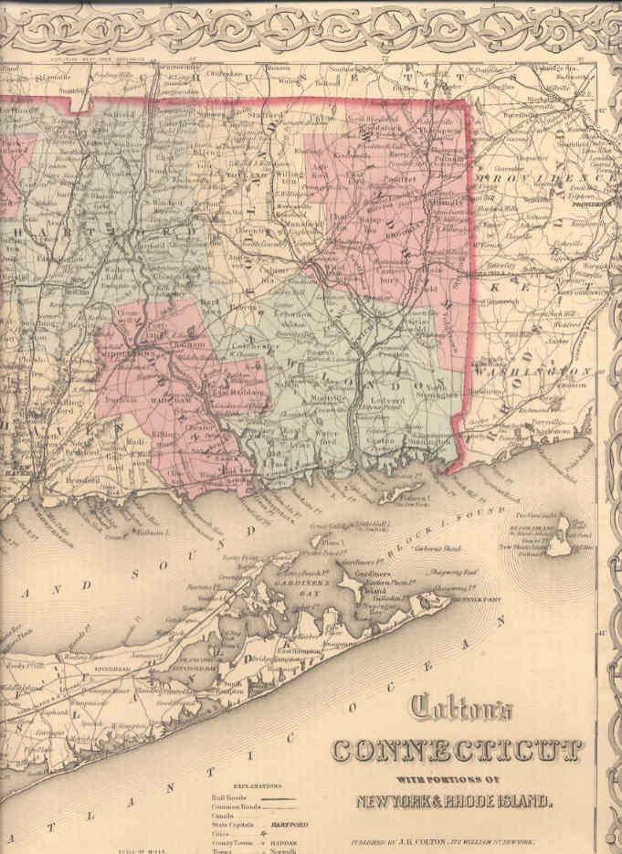
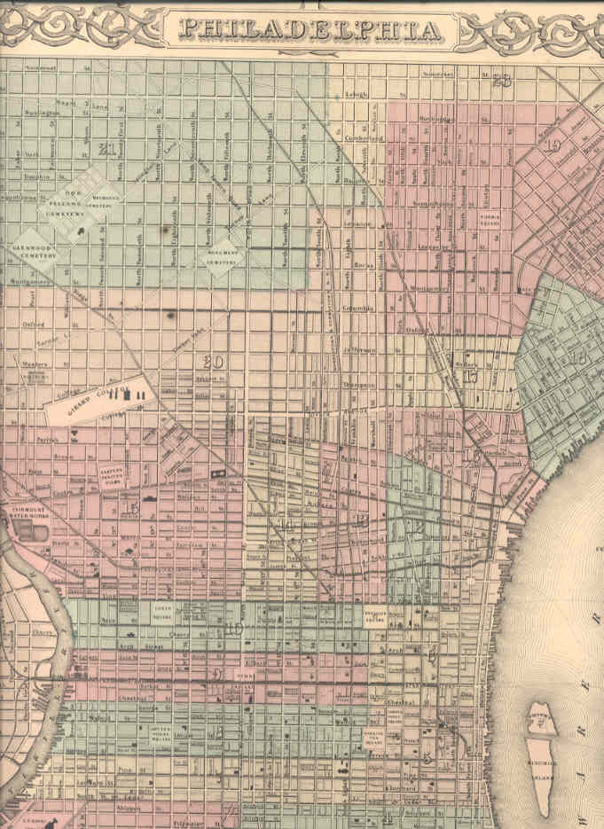
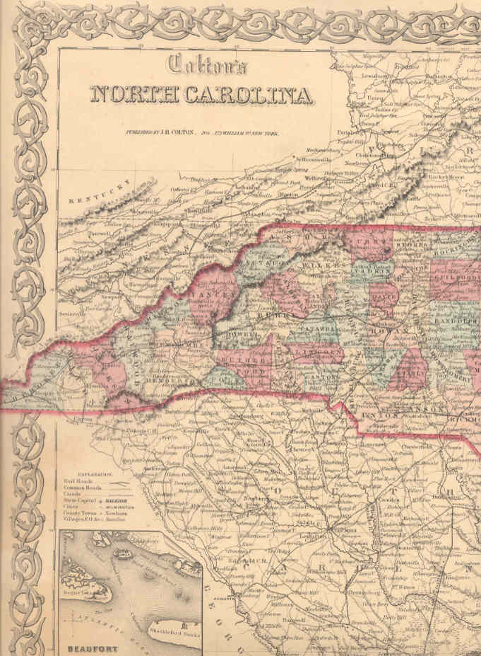
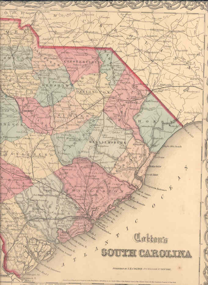
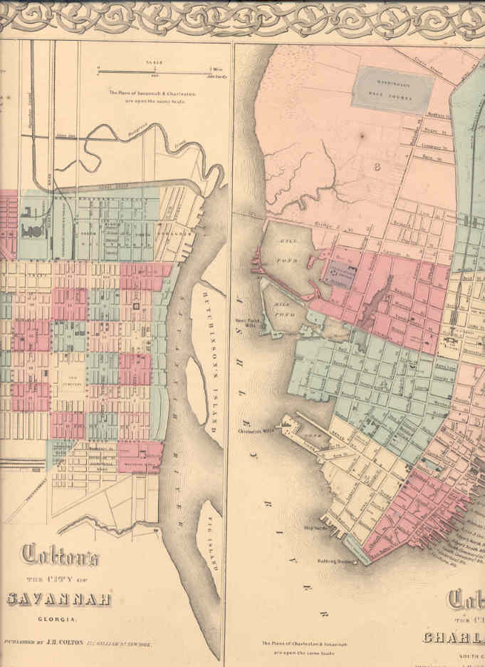
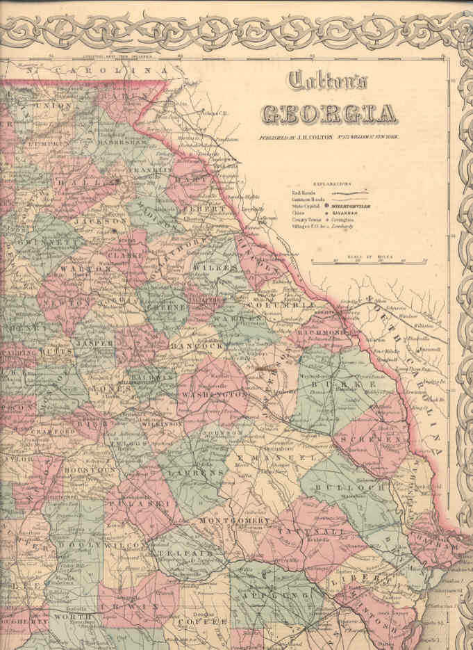
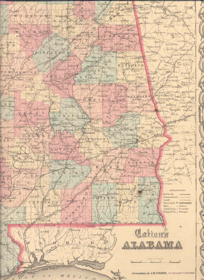
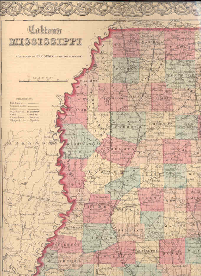
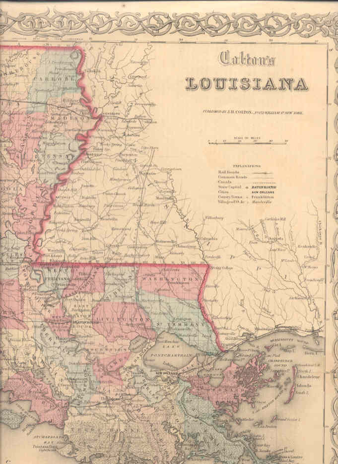
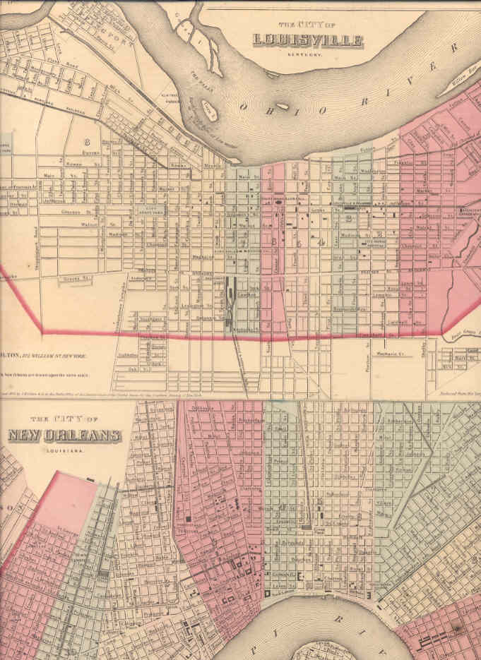
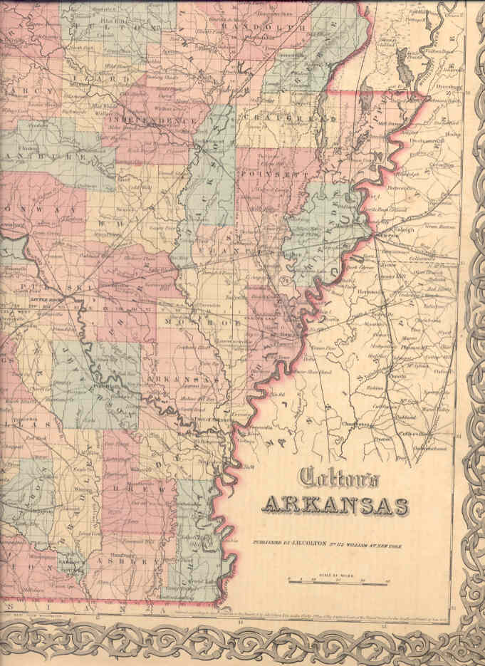
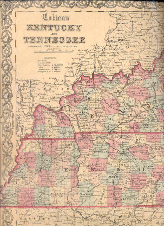
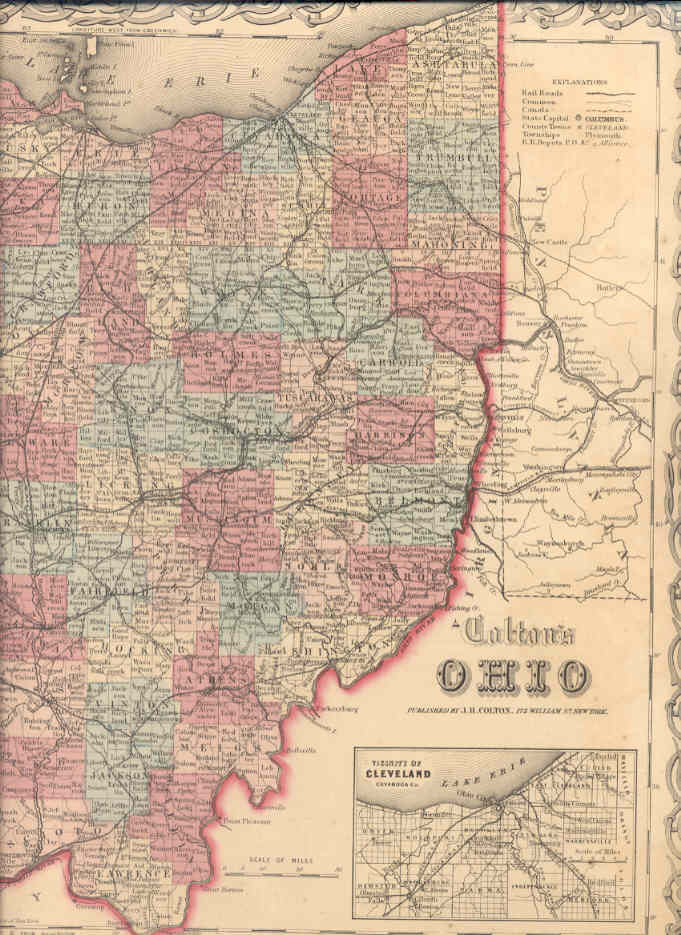
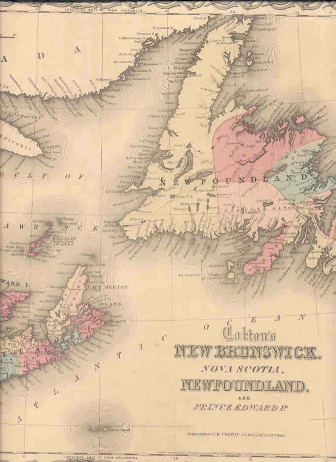
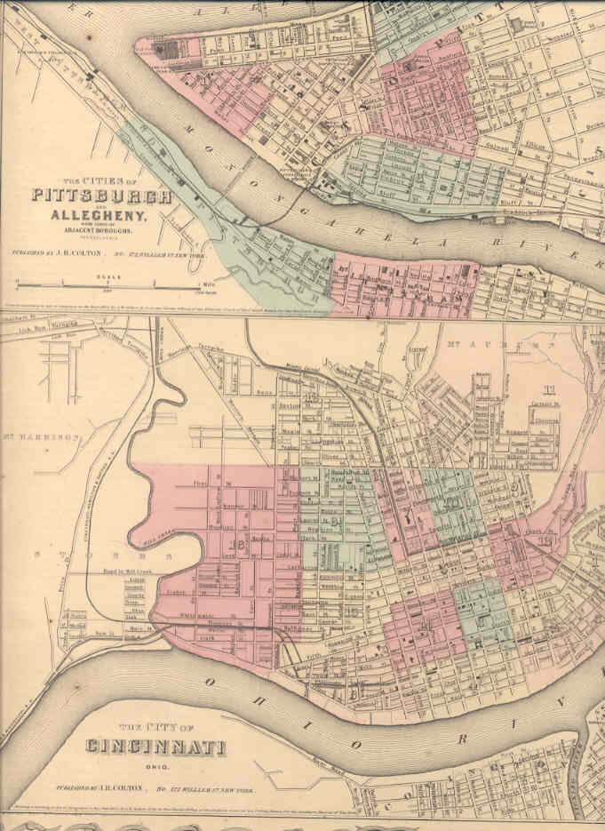
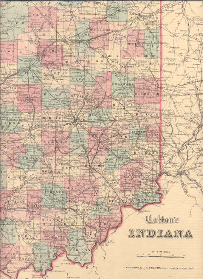
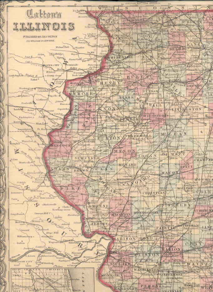
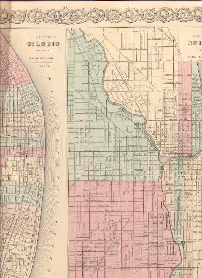
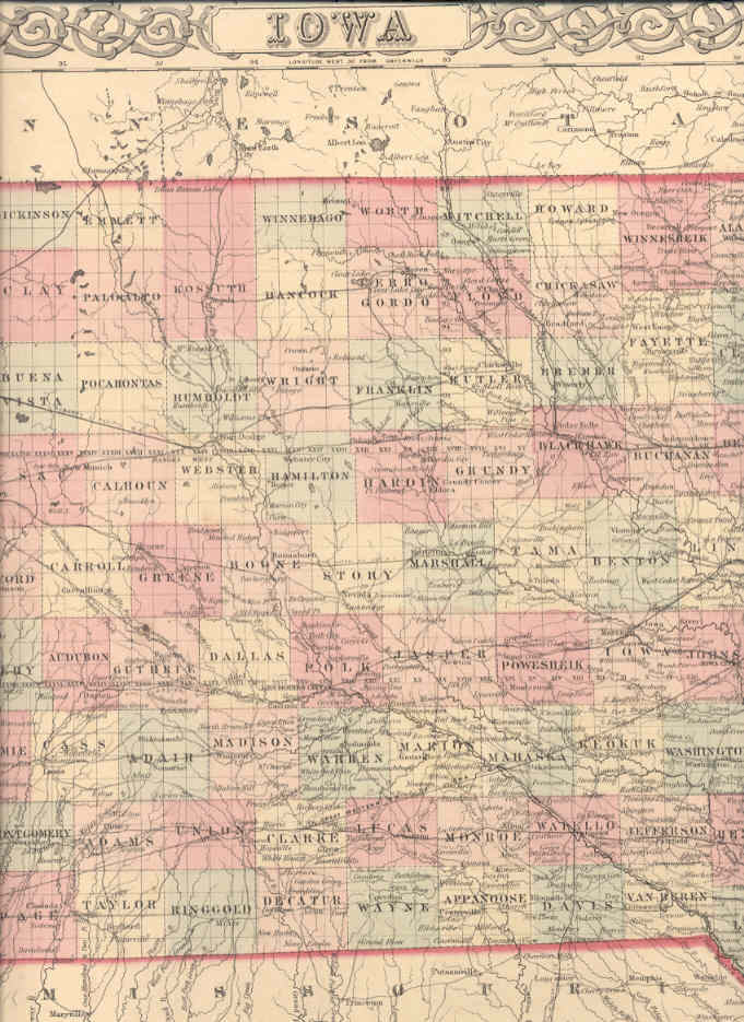
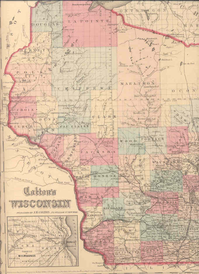
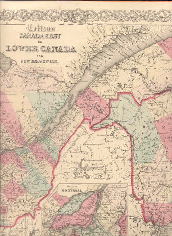
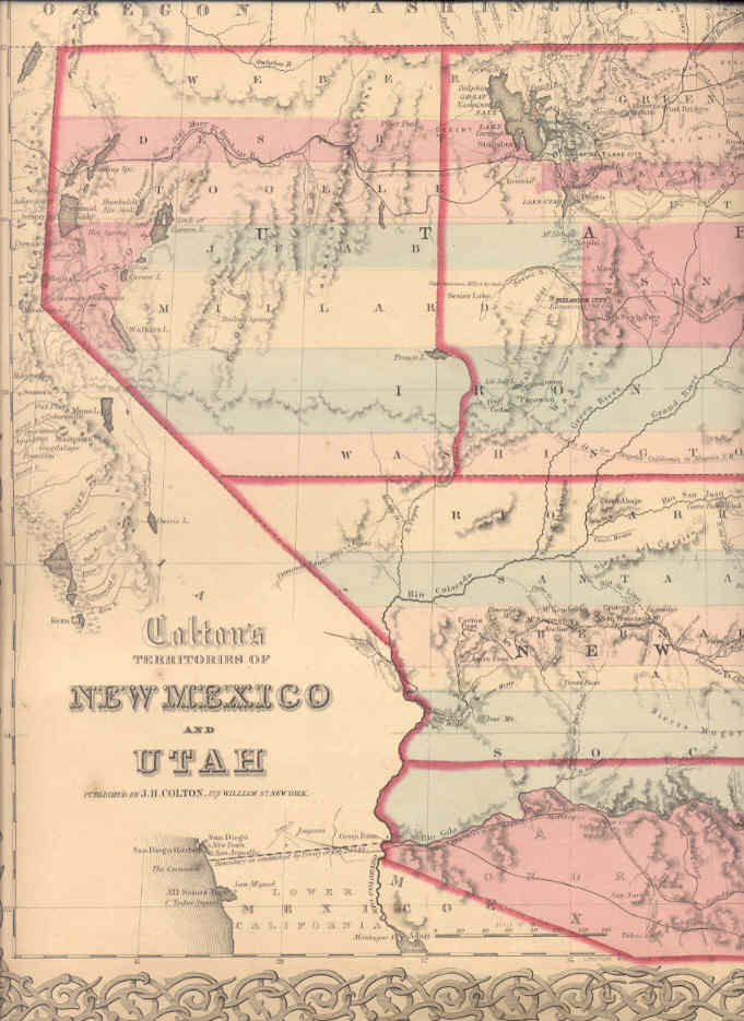
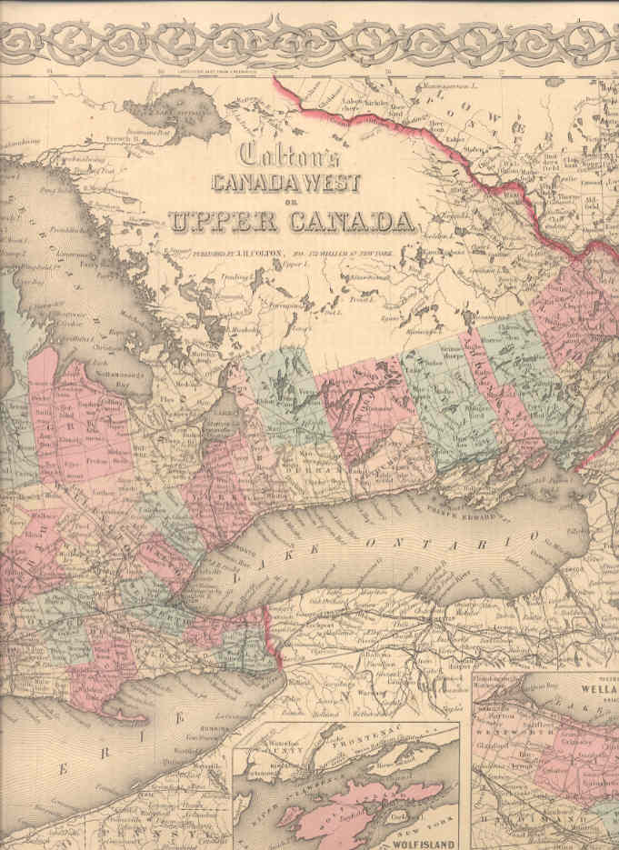
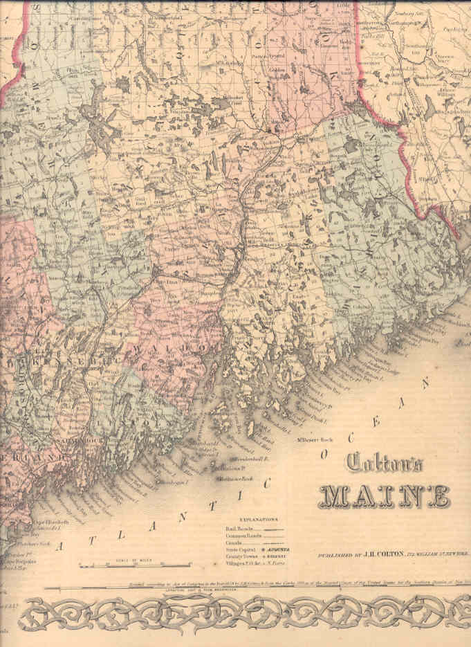
Carte geografiche di Stati e Città dell’America, eseguite da Colton, uno dei più famosi cartografi americani del 19° secolo. Le carte sono su foglio di cm. 42 x 35 ca. , confini ed interno colorati. Disponiamo: – n. 4 – New Brunswick, Nova Scotia, Newfoundland and Prince Edward I.- n. 5 – Canada East or Lower Canada and New Brunswick.- n. 6 – Canada West or Upper Canada.- n. 9 – Maine.- n. 10 – New Hampshire.- n. 11 – Vermont.- n. 12 – Massachusetts and Rhode Island.- n. 14 – Connecticut with portions of New York e Rhode Island.- n. 21 – Philadelphyia.- n. 26 – North Carolina.- n. 27 – South Carolina.- n. 28 – The city of Savannah, Georgia. The city Vhstlrdyon, South Carolina.- n. 29 – Georgia. – n. 31 – Alabama – n. 32 Mississipi.- n. 33 – Louisiana.- n. 34 – The city of Louisville, Kentucky. The city of New Orleans, Louisiana.- n. 37 – Arkansas.- n. 38 – Kentucky and Tennessee.- n. 39 – Ohio.- n. 40 – The cities of Pittsburghy and Allegheny with parts of adjacent boroughs, Pensylvania. The city of Cincinnati , Ohio.- n. 41 – Indiana.- n. 44 – Illinois.- n. 45 – The city of St. Louis, Missouri. he city of Chicago, Illinois.- n. 47 – Iowa.- n. 48 – Wisconsin.- n. 51 – Territories of New Mexico and Utah. EURO 140,00 CADAUNA.